


1
2
3
4
5
6
7
8
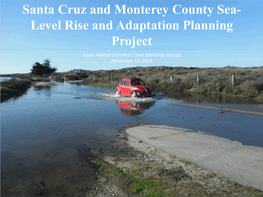
Santa Cruz And Monterey County Sea Level Rise Adaptation And Planning Project
Jason Adelaars - Central Coast Wetlands Group
Using Maps And Apps To Explore The Resources Of Monterey Bay National Marine Sanctuary
Sophie De Beukelaer - Monterey Bay National Marine Sanctuary
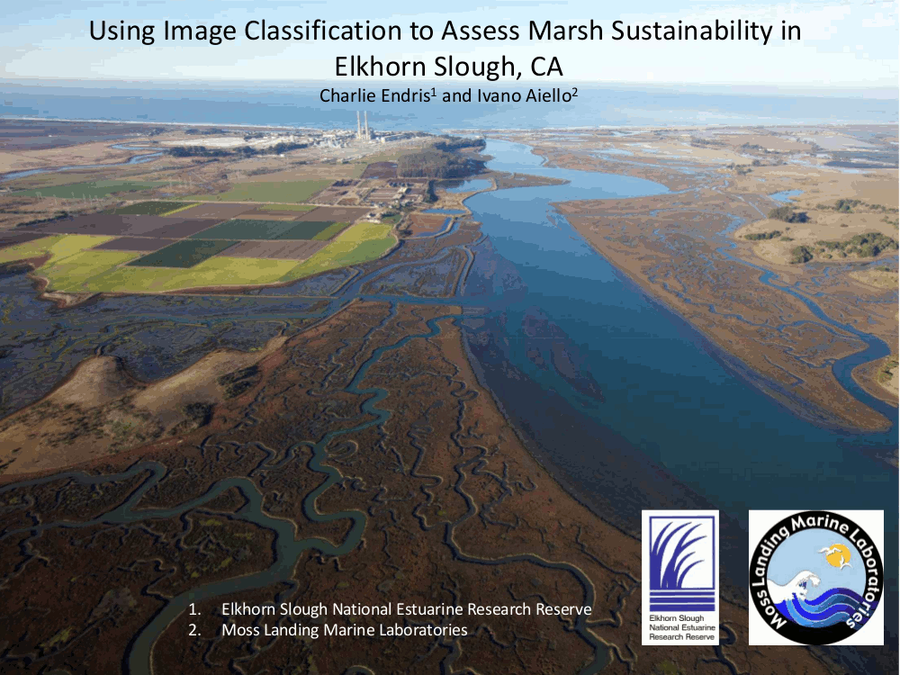
Using Image Classification To Assess Marsh Sustainability In Elkhorn Slough, CA
Charlie Endris - Elkhorn Slough National Estuarine Research Reserve
Ivano Alello - Moss Landing Marine Labs
Mapping The Implications Of Low Oxygen (Hypoxia) On Available Habitat For Select Species Of Flatfish In Elkhorn Slough
Matt Levey - Seaspatial Consulting
Brent Hughes- University of California Santa Cruz
STOQS - The Spatial Temporal Oceanographic Query System
Mike McCann - Monterey Bay Aquarium Research Institute
Geospatial Data In The National Weather Service
Drew Peterson - National Oceanic & Atmospheric Administration
Using Maps - From Underwater Sonars To Bike Riding
Geoff Shipton - Triton Imaging Inc.
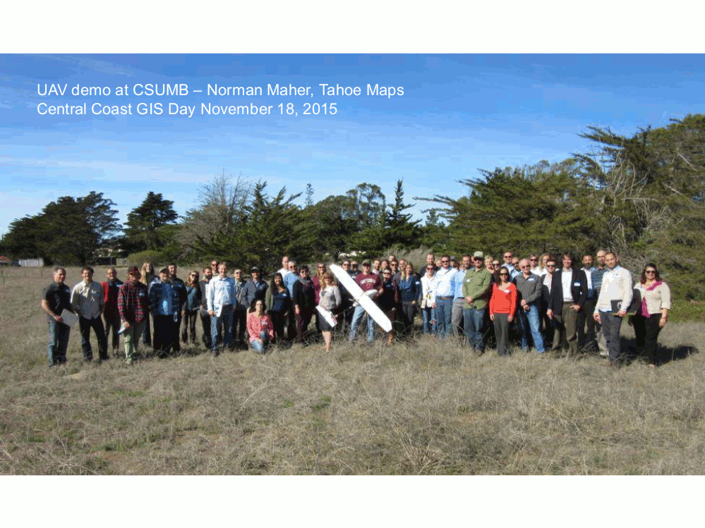
UAV Demo
Norman Maher - Tahoe Maps